Palm Coast
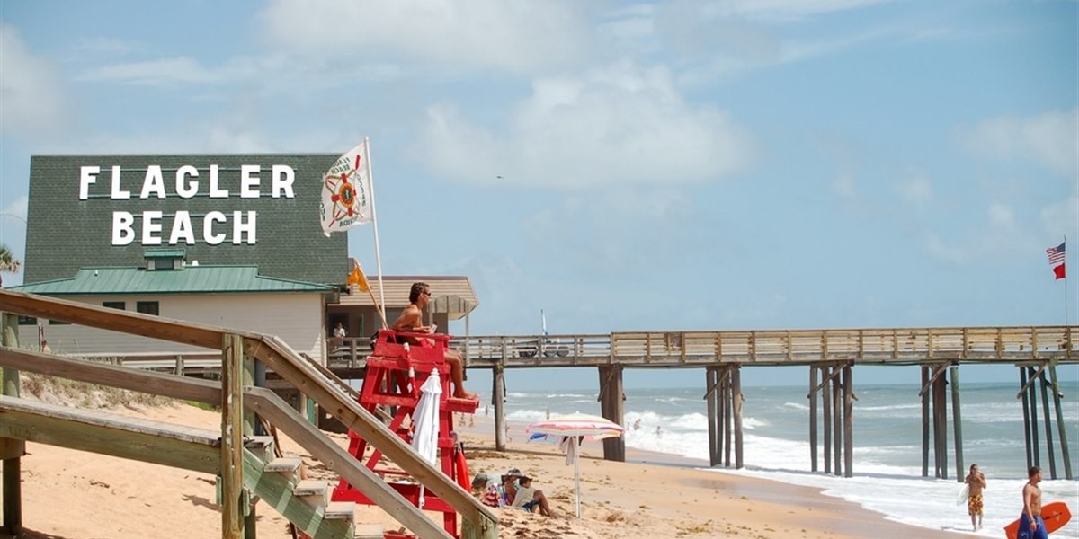
Residential neighborhoods, parkways, canal areas, shopping corridors, parks, and routes toward Flagler Beach and I-95.
Read the Palm Coast guide →See the roads, neighborhoods, beaches, parks, shopping, restaurants, schools, daily conveniences, and general lifestyle around the Florida communities on your shortlist.
Select a marker for preview availability. Exact routes, filming scope, and travel availability are reviewed with each request.
Map data © OpenStreetMap contributors. This coverage map is general and does not represent property listings or service guarantees.
Residential neighborhoods, parkways, canal areas, shopping corridors, parks, and routes toward Flagler Beach and I-95.
Read the Palm Coast guide →Coastal and inland settings, main roads, rural routes, community services, and connections between Palm Coast, Bunnell, and the beach.
Individual location pages can be added laterHistoric-city, beach, suburban, and surrounding-community routes with very different daily settings and access patterns.
Compare with Palm Coast →Beachside, inland, airport, medical, shopping, and major-road context across the broader Daytona area.
Read the Daytona guide →Coastal routes, river and mainland context, parks, shopping, and connections north toward Flagler County.
Individual location pages can be added laterSmall-city, rural-road, land, acreage, and everyday-service context west of Palm Coast.
Read the Florida land guide →The homepage still includes every existing interactive map and tool: the animated preview map, Address Snapshot, property preview map, store finder, routes, weather, tides, beach live view, comparison tools, and video coverage map.
Open Local ToolsPreview videos remain available on the homepage and continue to use click-to-load YouTube players for faster mobile performance.
View Sample VideosSurrounding communities may be available depending on location, requested scope, distance, and scheduling.